
On the Oklahoma line, along Sager Creek
Barndominium Builders in Siloam Springs, AR
Barndos and shop homes for the western edge of Benton County and the Illinois River country.
- Free on-site estimates
- Written, line-item pricing
- County permit and septic research included
A Spring Town on the State Line
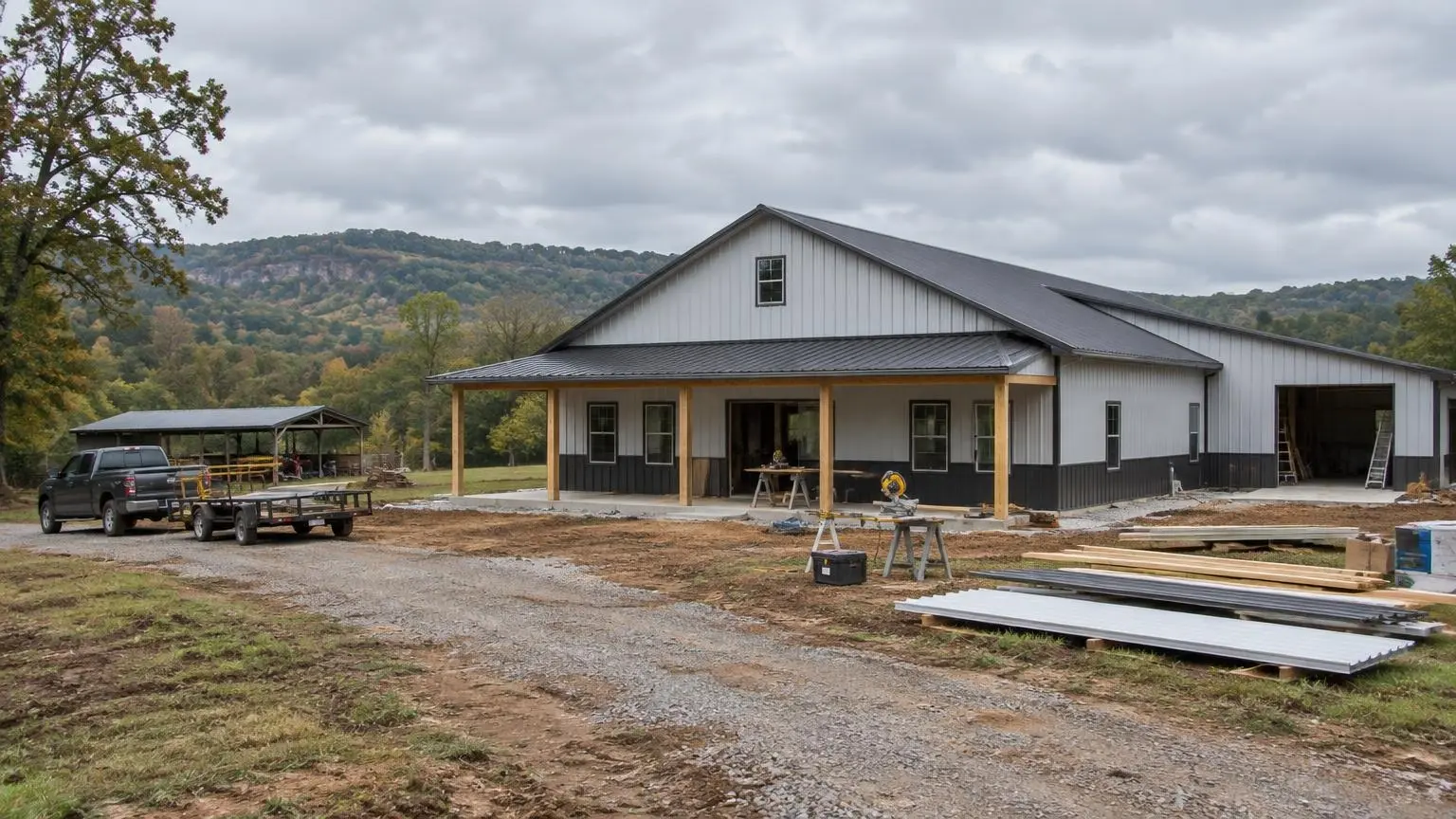
Barndominium builders who work near Siloam Springs are building at the western edge of Northwest Arkansas, right on the Oklahoma border. The city shares the state line with West Siloam Springs, Oklahoma. It grew from 15,039 residents in 2010 to 17,287 in 2020 and sits at about 1,132 feet, on a plateau where Wikipedia says the southern plains meet the Ozark Mountains. Land out here tends to be more open than the hill country to the east, which suits a long barndominium with a wide shop.
The town grew around water. The town takes its creek's name from settler Simon Sager, from the days when the place was called Hico, and the community was known for the purported healing powers of the spring water feeding Sager Creek. The creek still flows through downtown. The city's main water source is the Illinois River, supplemented by water from a regional authority drawing on Beaver Lake.
Questions to Answer Before You Buy
Is the land in Arkansas or Oklahoma? It sounds obvious, but near the line it is worth confirming on the survey. The permits, health rules and taxes are completely different on each side. This page covers the Arkansas side, in Benton County.
Is it inside city limits? If so, city zoning and permits apply, and we confirm those with the city.
If it is in the county, what does Benton County require? The county's Building Safety Department handles building permits, inspections and code compliance for unincorporated land. It no longer requires building permits for detached residential group U structures such as shops, carports and storage buildings, but structures attached to a home still need a permit, as does new plumbing, electrical or HVAC work. The county may ask for septic approval or verification before a plumbing permit, and work that needs no permit should still go to the Planning Office for site plan review.
Which watershed is it in? Wikipedia's Benton County page notes that the Illinois River watershed, including Osage Creek and Flint (Spavinaw) Creek, drains part of the county. Near Siloam Springs, the Illinois River is the city's water supply. That makes septic setbacks and runoff control something to take seriously on any tract near a creek.
Septic Rules on the Western Plateau
The Arkansas Department of Health rules are the same statewide, but how they play out depends on the ground. The highlights for a Siloam Springs-area build:
- Plans approved before the home is built, with at least two soil pits for a primary and a backup absorption area.
- 100 feet from the high-water mark of any stream or lake, and 300 feet from a spring used as a public water supply.
- 100 feet from any sinkhole; Benton County lists sinkholes, caves, springs and losing streams as common karst features.
- 100 feet from a private well, which itself must be 50 feet from any lot line.
- No absorption field in fill, and soils slower than 75 minutes per inch are unsuitable for a standard system.
The Department's FAQ notes that a single home on ten or more acres can be exempt from the septic permit when every part of the system is more than 200 feet from all property lines, including roads. The system still has to meet state requirements.
Soils You May Run Into
Two USDA soil series show the range of upland ground in the Ozark region. Captina, found on nearly level to moderately sloping uplands and old stream terraces in the Ozark Highlands of Arkansas, Oklahoma and Missouri, has a dense fragipan 16 to 38 inches down with slow permeability. Clarksville, on steeper side slopes and narrow ridgetops, is loaded with chert, carrying 35 to 70 percent rock fragments. Your land may have either, both or neither; a soil evaluation tells you what you actually have. But between a slow-draining hardpan and a field of chert gravel, you can see why we want the soil work done before the floor plan is final.
Weather on the Edge of the Plains
Siloam Springs is humid subtropical, with about 47 inches of precipitation a year. The average January low is 24.2 degrees F and the July high averages 89.1. The extremes are wide: a record high of 111 degrees F on July 14, 1954, and a record low of minus 24 on February 12, 1899. A barndo here needs real cooling capacity for summer, a continuous insulation layer that stops condensation on cold steel in winter, and a roof and wall frame designed for the wind and storms that come with spring.
Getting Around
U.S. 412 runs east and west, linking Siloam Springs with Tulsa on one side and Springdale, Fayetteville and Bentonville on the other. Arkansas 59 runs north to Gravette and south toward Van Buren and Fort Smith. Northwest Arkansas National Airport is about 21 miles to the east-northeast. Good highway access makes material delivery straightforward; county road conditions near the property are what we check on the site visit.
Call (501) 392-9924 or
to talk about land around Siloam Springs, Gentry or Gravette.Siloam Springs Site Facts
- On the state line. Siloam Springs shares the Arkansas-Oklahoma line with West Siloam Springs, Oklahoma.
- River water supply. The city's primary water source is the Illinois River, supplemented by water from a regional authority drawing on Beaver Lake.
- County permits. Benton County Building Safety handles permits, inspections and code compliance in unincorporated areas; detached group U structures like shops are exempt from building permits.
- Temperature extremes. Record high 111 degrees F (July 14, 1954) and record low -24 degrees F (February 12, 1899); about 47 inches of precipitation a year.
- Growth. Population grew from 15,039 in 2010 to 17,287 in 2020.
Our Services in Siloam Springs, AR
Siloam Springs Questions
Do you build on the Oklahoma side of Siloam Springs?
This page covers Arkansas land in Benton County. If your property is across the line, permits and health rules are different, so tell us where it is and we will talk it through.
My land is near a creek that feeds the Illinois River. What changes?
Septic setbacks (100 feet from a stream's high-water mark) and runoff control. We also check the flood map for creek-side land before choosing the pad.
Can I skip the septic permit on a big tract?
The Arkansas Department of Health FAQ describes an exemption for a single home on ten or more acres with every part of the system more than 200 feet from all property lines. The system must still meet state requirements, and Benton County may still ask for septic verification before a plumbing permit.
Do you build toward Gentry and Gravette?
Yes. We build across western Benton County.
Free Estimates in Siloam Springs, AR
Send us your parcel near Siloam Springs and we will check the rules for it.
Barndominium Builders Near Siloam Springs
- Barndominium Builders in Little Rock, AR
- Barndominium Builders in Conway, AR
- Barndominium Builders in Cabot, AR
- Barndominium Builders in Benton, AR
- Barndominium Builders in Bryant, AR
- Barndominium Builders in Sherwood, AR
- Barndominium Builders in Maumelle, AR
- Barndominium Builders in Searcy, AR
- Barndominium Builders in Beebe, AR
- Barndominium Builders in Russellville, AR
- Barndominium Builders in Hot Springs, AR
- Barndominium Builders in Malvern, AR
- Barndominium Builders in Arkadelphia, AR
- Barndominium Builders in Pine Bluff, AR
- Barndominium Builders in Jonesboro, AR
- Barndominium Builders in Paragould, AR
- Barndominium Builders in Batesville, AR
- Barndominium Builders in Mountain Home, AR
- Barndominium Builders in Harrison, AR
- Barndominium Builders in Fayetteville, AR
- Barndominium Builders in Springdale, AR
- Barndominium Builders in Rogers, AR
- Barndominium Builders in Bentonville, AR
- Barndominium Builders in Fort Smith, AR
- Barndominium Builders in Van Buren, AR
- Barndominium Builders in Clarksville, AR
- Barndominium Builders in Texarkana, AR
- Barndominium Builders in El Dorado, AR
- Barndominium Builders in Magnolia, AR