
Where the Delta meets the Timberlands
Barndominium Builders in Pine Bluff, AR
Barndo homes and shops planned for flat Delta ground and the pine country west of Bayou Bartholomew.
- Free on-site estimates
- Written, line-item pricing
- County permit and septic research included
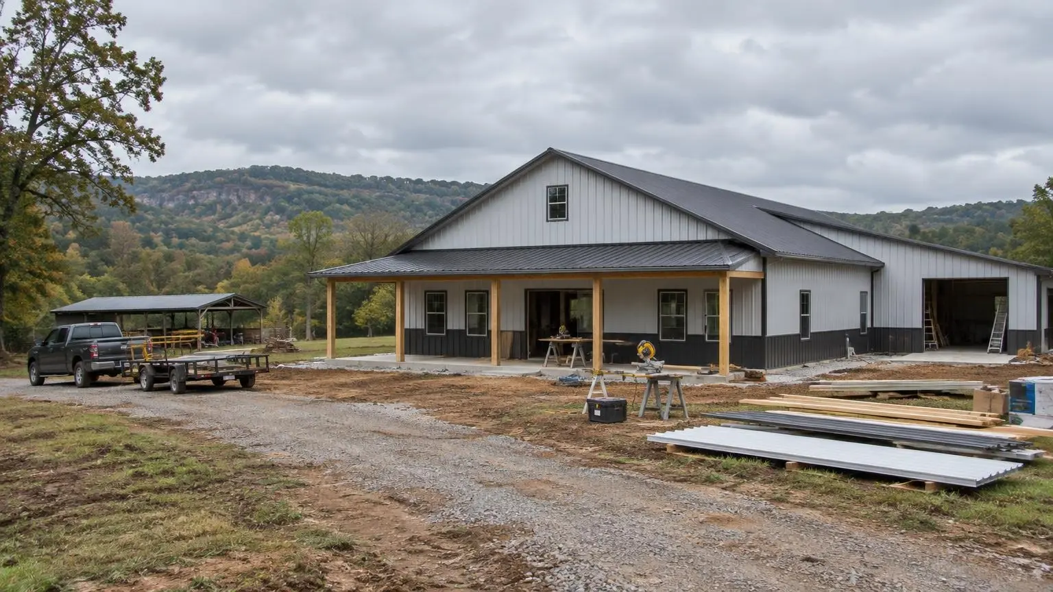
Flat Ground With a River's Memory
Barndominium builders working around Pine Bluff deal with land that looks simple and is not. Pine Bluff, the seat of Jefferson County, sits on the Arkansas River at about 226 feet in the Arkansas Delta, part of the Mississippi Alluvial Plain. The Encyclopedia of Arkansas describes the Delta as extremely flat, with local elevation differences of only a few feet. On flat land, a few feet is the difference between a dry slab and a wet one.
The river has moved over time. Lake Pine Bluff and Lake Langhofer, both inside city limits, are remnants of the old river channel. Old channels, sloughs and low swales across the county are reminders that water has been here before and can return.
Flood History That Shapes a Site Plan
The Great Flood of 1927, described as a 100-year flood, broke levees and flooded most of northern and southeastern Jefferson County. The Arkansas River bisects the county, and for a barndominium on rural land the questions are concrete:
1. What flood zone is the parcel in? We check the FEMA flood map before design. 2. Where is the high ground? On flat Delta land, the house pad usually goes on the highest spot, even if that is not where the listing photos were taken. 3. How high should the slab sit? A raised building pad and finished floor above surrounding grade keep the living space and shop dry. 4. Where does water leave the lot? Ditches and culverts at the road matter as much as the slab.
Delta Soils and the Septic Question
The Delta's deep alluvial soil makes it the state's most important farming region, and rice is most common on Pleistocene terraces with clay pans. A clay pan that holds water for a crop also holds it under a drain field. Arkansas Department of Health rules size septic systems partly by the depth to the seasonal water table. For lots under 3 acres with slopes of 12 percent or less, the minimum depth runs from 13 to 24 inches depending on how long the water table lasts each year. For lots of 3 acres or larger, the minimums drop to 12 to 20 inches. That difference is worth weighing when choosing between tract sizes near Pine Bluff.
Soil tests are done by a Designated Representative, and a standard system cannot be installed in fill. If a standard system will not work, alternative designs are possible but require a signed agreement from the owner. Holding tanks are not allowed for residences.
West of Bayou Bartholomew
Bayou Bartholomew forms the western boundary between the Delta and the Arkansas Timberlands. West of it, the land changes to the West Gulf Coastal Plain, which the Encyclopedia of Arkansas describes as unconsolidated sand, gravel, silt and clay eroded into rolling, sandy hills, with soils suited to pine timber. A wooded tract on that side of the bayou may drain better than flat Delta farmland, but it may need clearing and a longer driveway.
The Jefferson County Land Picture
Pine Bluff's population fell from 57,100 in 1990 to 41,253 in 2020, and the 2025 estimate is 38,213. Jefferson County dropped from 77,435 to 67,260 between 2010 and 2020. The county had 30,573 housing units in 2020, about 14.1 percent vacant, with 62.5 percent of occupied homes owner-occupied. For buyers, a shrinking population can mean more land for sale and more older homesites that could be cleared for a new barndo. Communities around Pine Bluff include White Hall, Redfield, Altheimer, Humphrey, Wabbaseka and Sherrill.
The Pine Bluff Arsenal occupies about 15,000 acres north of the city, and Grider Field sits about 4 miles southeast. Interstate 530 carries a southern bypass completed in the 1990s.
Climate
Pine Bluff averages 53.58 inches of precipitation a year with about 2.5 inches of snow. Records range from 112 degrees F to minus 6. Humid Delta summers make condensation control inside a steel shell a priority, and spray foam is the usual answer.
Next Steps
Send us the parcel, and we will start with the flood map and the high ground, then work up a written estimate for the pad, shell and finish-out. Call (501) 392-9924 or
.Pine Bluff and Jefferson County Notes
- Delta setting. Pine Bluff sits at about 226 feet in the Arkansas Delta on the Arkansas River.
- Old river channels. Lake Pine Bluff and Lake Langhofer, inside city limits, are remnants of the historical river channel.
- 1927 flood. Levee breaks in the Great Flood of 1927 flooded most of northern and southeastern Jefferson County.
- Timberlands boundary. Bayou Bartholomew forms the western boundary between the Delta and the Arkansas Timberlands.
- Housing stock. Jefferson County had 30,573 housing units in 2020, about 14.1 percent vacant.
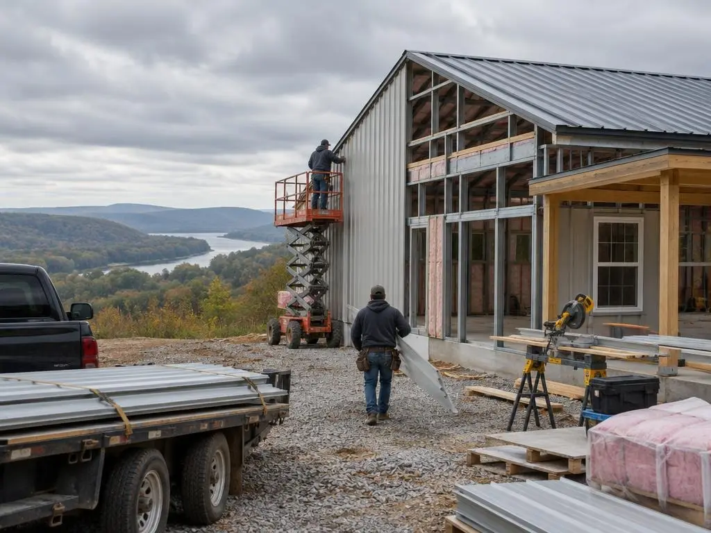
Our Services in Pine Bluff, AR
Pine Bluff Questions
How do I know if my land near Pine Bluff is in a flood zone?
Check the FEMA flood map for the parcel. We review it before any design work so the pad and floor height are set correctly.
Can I use a holding tank instead of a septic field on wet land?
Not for a home. Arkansas rules do not allow holding tanks for residences, but alternative systems are possible.
Does a bigger tract help with septic approval?
It can. Lots of 3 acres or more have slightly shallower seasonal water table minimums than smaller lots.
Do you build toward White Hall and Redfield?
Yes, across Jefferson County and into the timber country west of Bayou Bartholomew.
Free Estimates in Pine Bluff, AR
Free estimates for Pine Bluff and Jefferson County.
Barndominium Builders Near Pine Bluff
- Barndominium Builders in Little Rock, AR
- Barndominium Builders in Conway, AR
- Barndominium Builders in Cabot, AR
- Barndominium Builders in Benton, AR
- Barndominium Builders in Bryant, AR
- Barndominium Builders in Sherwood, AR
- Barndominium Builders in Maumelle, AR
- Barndominium Builders in Searcy, AR
- Barndominium Builders in Beebe, AR
- Barndominium Builders in Russellville, AR
- Barndominium Builders in Hot Springs, AR
- Barndominium Builders in Malvern, AR
- Barndominium Builders in Arkadelphia, AR
- Barndominium Builders in Jonesboro, AR
- Barndominium Builders in Paragould, AR
- Barndominium Builders in Batesville, AR
- Barndominium Builders in Mountain Home, AR
- Barndominium Builders in Harrison, AR
- Barndominium Builders in Fayetteville, AR
- Barndominium Builders in Springdale, AR
- Barndominium Builders in Rogers, AR
- Barndominium Builders in Bentonville, AR
- Barndominium Builders in Siloam Springs, AR
- Barndominium Builders in Fort Smith, AR
- Barndominium Builders in Van Buren, AR
- Barndominium Builders in Clarksville, AR
- Barndominium Builders in Texarkana, AR
- Barndominium Builders in El Dorado, AR
- Barndominium Builders in Magnolia, AR