
Ouachita ridges and lake country
Barndominium Builders in Hot Springs, AR
Barndos and shop houses designed for sloped, rocky and lakeside lots around Garland County.
- Free on-site estimates
- Written, line-item pricing
- County permit and septic research included
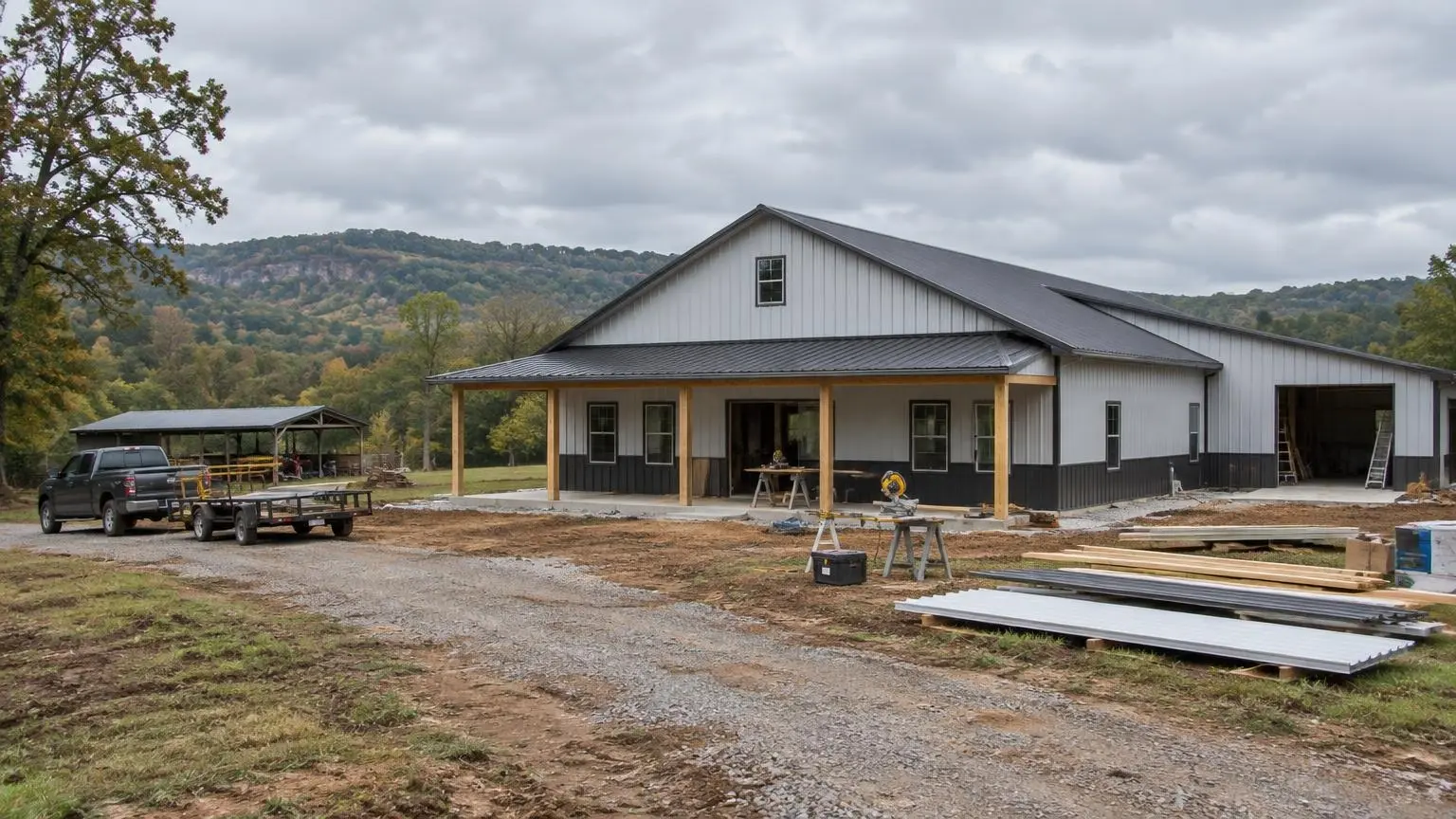
Mountain Lots, Lake Lots and Everything Between
Barndominium builders around Hot Springs work on some of the most varied ground in Arkansas. The city sits at about 568 feet on the southeastern edge of the Ouachita Mountains, roughly 55 miles southwest of Little Rock. It is the seat of Garland County and grew from 35,193 residents in 2010 to 37,930 in 2020. The heart of the city is Hot Springs National Park, which began as the federal Hot Springs Reservation in 1832 and is the only national park in Arkansas.
Barndominium land around the city takes many forms: wooded tracts on a ridge, a hollow with a creek, or a lot near one of the lakes. Each of those sites asks different things of a foundation, a driveway and a septic system.
Reading Ouachita Terrain
The Encyclopedia of Arkansas describes Ouachita ridges as usually sharp-pointed and running east to west, with shallow soils on the ridges and deeper, more productive soils in the valleys. In practice that means:
- Ridge-top lots offer views and good drainage but often have rock close to the surface, which affects footings, trenching for utilities and septic design.
- Valley and hollow lots usually have deeper soil but collect runoff, so slab elevation and drainage around the building matter more.
- Side-slope lots need cut-and-fill work for a flat pad, and the long walls of a barndominium make the pad larger than for a typical house.
We walk the site and look at slope and rock before we price excavation, because those two items move the budget more than anything else on Garland County land.
Septic on Sloping, Rocky Ground
Arkansas Department of Health rules include several limits that matter in the Ouachitas. An absorption field cannot be placed on ground steeper than 12 percent slope. The rules require a separation between the bottom of the field and bedrock of 18 to 36 inches, depending on how fast the soil drains. And a standard system cannot be installed in fill material, so you cannot simply truck in dirt to build up a shallow site. The rules do allow a cap of loamy fill over natural soil for some designs, but that fill has to be uniform material with no more than 27 percent clay, and it is expected to settle about 25 percent.
The upshot: on some steep or shallow-rock lots, the septic field location decides where the house goes. We work out both together with the Designated Representative who evaluates your soil.
Lake Hamilton, Lake Catherine and the Water's Edge
Garland County holds 57 square miles of water out of 735 total, about 7.7 percent. Lake Hamilton is a reservoir on the Ouachita River south of the city, created by Carpenter Dam in the 1930s, and Lake Catherine formed behind Remmel Dam in the 1920s. If you want a barndo near either one, state septic rules require 100 feet between a system and a lake's high-water mark, and 300 feet when the water is within a quarter mile of a public water intake. A 50-foot setback applies to a pond on your own property. Lake lots that look generous on a listing can get tight once those lines are drawn.
Heavy Rain, Little Snow
Hot Springs averaged 57.96 inches of precipitation a year in the 1991-2020 normals, with only about 1.1 inches of snow. Records range from 115 degrees F (1936 and 1986) down to minus 11 (1930). That much rain on sloped ground is the bigger design issue: gutters sized for real downpours, swales to steer water around the slab, and a driveway built so it does not wash out. Snow load is rarely the controlling number here; wind and water usually are.
Where We Build Around Hot Springs
Garland County counted 100,180 people and 52,326 housing units in 2020, and the county includes places outside the city such as Hot Springs Village, Lake Hamilton, Rockwell, Fountain Lake, Mountain Pine, Lonsdale and Piney. Each sits on different terrain, so plan reviews start with your parcel, not a template.
Send us the parcel or a map pin, and photos of the slope if you have them. We will review terrain, septic room and lake setbacks and write an estimate. Call (501) 392-9924 or
.Hot Springs and Garland County Facts
- Mountain setting. Hot Springs sits at about 568 feet on the southeastern edge of the Ouachita Mountains, 55 miles southwest of Little Rock.
- Lots of water. Garland County has 57 square miles of water out of 735 total, including Lake Hamilton and Lake Catherine.
- Rainfall. Hot Springs averages 57.96 inches of precipitation and about 1.1 inches of snow a year (1991-2020 normals).
- Septic slope limit. Arkansas rules do not allow a septic absorption area on ground steeper than 12 percent.
- Growth. Hot Springs grew from 35,193 residents in 2010 to 37,930 in 2020; Garland County reached 100,180.
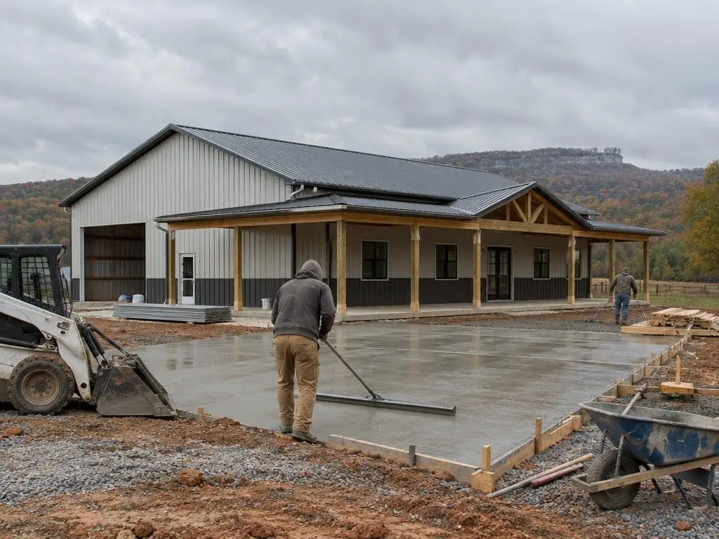
Our Services in Hot Springs, AR
Hot Springs Questions
My lot near Hot Springs is steep. Can it have a septic system?
The absorption field itself cannot sit on ground steeper than 12 percent. Many sloped lots still have a flatter area that works; a soil evaluation will show where.
Can I bring in fill dirt to build up a septic area?
Not for a standard system. Arkansas rules allow some designs with a cap of loamy fill over natural soil, but the field cannot sit in fill alone.
Do you build around Hot Springs Village and Lake Hamilton?
Yes. We plan builds across Garland County, including the lake communities and the rural ridges.
Will I hit rock digging footings on a ridge?
It is common on Ouachita ridges, where soils are often shallow. We check before pricing the excavation.
Free Estimates in Hot Springs, AR
Free estimates for Hot Springs and Garland County land.
Barndominium Builders Near Hot Springs
- Barndominium Builders in Little Rock, AR
- Barndominium Builders in Conway, AR
- Barndominium Builders in Cabot, AR
- Barndominium Builders in Benton, AR
- Barndominium Builders in Bryant, AR
- Barndominium Builders in Sherwood, AR
- Barndominium Builders in Maumelle, AR
- Barndominium Builders in Searcy, AR
- Barndominium Builders in Beebe, AR
- Barndominium Builders in Russellville, AR
- Barndominium Builders in Malvern, AR
- Barndominium Builders in Arkadelphia, AR
- Barndominium Builders in Pine Bluff, AR
- Barndominium Builders in Jonesboro, AR
- Barndominium Builders in Paragould, AR
- Barndominium Builders in Batesville, AR
- Barndominium Builders in Mountain Home, AR
- Barndominium Builders in Harrison, AR
- Barndominium Builders in Fayetteville, AR
- Barndominium Builders in Springdale, AR
- Barndominium Builders in Rogers, AR
- Barndominium Builders in Bentonville, AR
- Barndominium Builders in Siloam Springs, AR
- Barndominium Builders in Fort Smith, AR
- Barndominium Builders in Van Buren, AR
- Barndominium Builders in Clarksville, AR
- Barndominium Builders in Texarkana, AR
- Barndominium Builders in El Dorado, AR
- Barndominium Builders in Magnolia, AR