
Between Norfork Lake and Bull Shoals
Barndominium Builders in Mountain Home, AR
Shop houses and barndo homes for Twin Lakes country, planned around rock, slope and the water.
- Free on-site estimates
- Written, line-item pricing
- County permit and septic research included
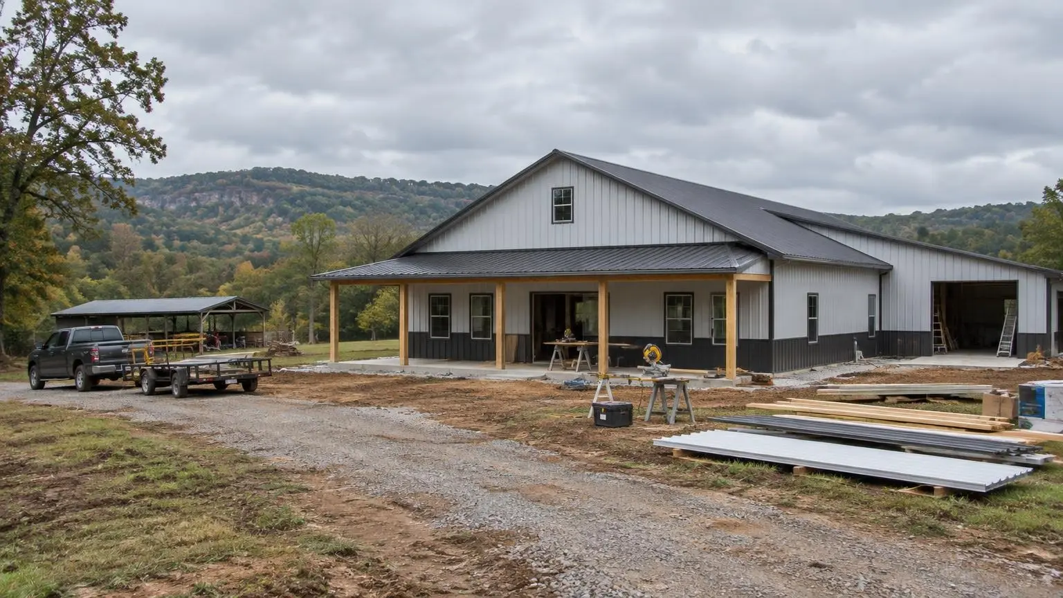
Barndos in the Twin Lakes Area
Barndominium builders in Mountain Home plan for a landscape shaped by two big reservoirs. Mountain Home is the seat of Baxter County and the center of what is called the Twin Lakes area: Norfork Lake lies about 15 minutes east and Bull Shoals Lake about 20 minutes northwest. The Buffalo National River, the White River and the North Fork River are all within 15 to 20 minutes of town. For anyone who wants a big garage for the boat and a home with room to spread out, a barndominium fits the area well.
The town had 12,448 residents in 2010 and 12,825 in 2020, at an elevation of about 814 feet. It is an older community on paper: the 2020 census counted 32.1 percent of residents as 65 or older, with a median age of 49.1. Single-level living, wide doorways and a garage or shop under the same roof suit that profile, and a barndo floor plan handles all of that easily.
What Is Different About Baxter County Land?
Baxter County covers about 587 square miles, and 5.5 percent of it is water. Wikipedia describes it as a steep section of the Ozarks in the Salem Plateau. Two land types are worth knowing before you buy:
- White River Hills. Land near the lakes and the White River falls in the White River Hills, which Wikipedia describes as having steep, rocky soils.
- Central Plateau. Eastern Baxter County and a small area around Mountain Home are in the Central Plateau, with flatter terrain and karst.
Steep, rocky lake land usually means more site work: a cut-and-fill pad, retaining on the uphill side, and a longer driveway that has to be built for concrete and steel deliveries. Flatter plateau land is easier to pad out but brings the karst question below.
How Much Does the Rock Matter?
Quite a lot, for both the foundation and the septic system. The USDA describes the Moko soil series of the Arkansas and Missouri Ozarks as forming in material from limestone or dolostone, with bedrock only 4 to 20 inches down (10 inches in the typical profile), slopes from 3 to 100 percent, and up to 20 percent rock outcrop or stones. We are not saying any particular parcel is Moko soil; a soil evaluation tells you that. But it shows how thin the soil over rock can be on Ozark slopes.
The Arkansas Department of Health septic rules require 18, 24 or 36 inches of separation between the bottom of a standard absorption area and bedrock, depending on the soil. The rules also say the absorption area cannot exceed a 12 percent slope, and that an absorption system cannot be installed in fill. On a thin, rocky lake lot, those three rules together decide where the house can go. That is why we want the soil evaluation done before the floor plan is locked.
What About Sinkholes and Karst?
Karst is ground where water has dissolved the limestone underneath, leaving springs, caves and sinkholes. Wikipedia notes karst on the flatter Central Plateau around Mountain Home. The state rules require onsite sewage facilities to be at least 100 feet from any sinkhole. If a depression shows up on your tract, flag it early. We would also keep roof drainage and driveway runoff from being pointed into it.
How Close to the Lake Can a Barndo Be?
Both lakes are U.S. Army Corps of Engineers reservoirs. Norfork Lake covers about 22,000 acres with more than 550 miles of shoreline, and most of it is in Baxter County. Bull Shoals Lake covers about 45,150 acres; its dam was completed in 1951 and its main purpose is flood control. Because they are flood-control lakes, their water levels swing. Bull Shoals set a record crest of 696.51 feet on May 27, 2011, and Norfork's record level was 581.84 feet in 2008, above its 580-foot flood pool.
For a builder, that means two separate checks on lake-area land: where the land sits relative to the high water, and what the septic setbacks require. State rules call for 100 feet between a sewage system and the high-water mark of a stream or lake, and 300 feet where a lake is within a quarter mile of a public water intake. Any work on government shoreline is a separate matter for the Corps, not something a home permit covers.
What Weather Should the Design Handle?
Mountain Home is humid subtropical, with about 50.86 inches of precipitation over roughly 110 days and about 7.8 inches of snow in an average year. The record high is 114 degrees F and the record low is minus 16. A metal-roof barndo here needs a roof and gutter plan sized for heavy rain, enough roof strength for an occasional snow, and an insulation and vapor plan that keeps condensation off the steel during cold nights. Closed-cell spray foam on the shell, a properly sized heat pump and controlled ventilation are the usual tools.
How Do Materials Get Out Here?
There is no interstate in Baxter County; the nearest is I-44 in Springfield, Missouri. U.S. 62 and U.S. 412 run east and west across the county, and Arkansas Highway 5 is the only route that runs continuously from the south to the north border. Delivery routes for steel, trusses and concrete matter on lake roads, so we look at the road in from the highway as part of the site review.
To talk about land near Norfork, Bull Shoals, Gassville, Cotter or Lakeview, call (501) 392-9924 or
.Mountain Home Land Notes
- Twin Lakes location. Norfork Lake is about 15 minutes east of Mountain Home and Bull Shoals Lake about 20 minutes northwest.
- Two kinds of terrain. Land near the lakes and the White River is in the White River Hills (steep, rocky soils); eastern Baxter County and an area around Mountain Home are flatter Central Plateau with karst.
- Flood-control lakes. Bull Shoals reached a record 696.51 feet on May 27, 2011; Norfork's record was 581.84 feet in 2008, above its 580-foot flood pool.
- Climate. About 50.86 inches of precipitation and 7.8 inches of snow a year; records of 114 and -16 degrees F.
- Roads. Baxter County has no interstate; Arkansas 5 is the only continuous south-to-north route, and US 62/412 cross east to west.
Our Services in Mountain Home, AR
Mountain Home Questions
Can a lake lot near Norfork or Bull Shoals have a septic system?
Often, but setbacks and rock decide it. State rules require 100 feet from a lake's high-water mark (300 feet near a public water intake), 18 to 36 inches of soil over bedrock, and an absorption area no steeper than 12 percent. A soil evaluation answers it for your lot.
Is the ground near Mountain Home really that rocky?
Much of it can be. Wikipedia describes the White River Hills near the lakes as steep and rocky, and USDA's Moko series in the Ozarks has bedrock as shallow as 4 inches. We plan the pad and the septic area around what the soil test shows.
Do you build in Gassville, Cotter and Lakeview too?
Yes. We build across Baxter County, including the incorporated towns and the rural areas between them.
Can I put a boat garage in my barndominium?
Yes. A tall bay with a wide overhead door fits easily into a barndo near the Twin Lakes. We size the door, ceiling height and slab for the boat and trailer you have.
Free Estimates in Mountain Home, AR
Share your Twin Lakes parcel and we will help you plan around the rock and the water.
Barndominium Builders Near Mountain Home
- Barndominium Builders in Little Rock, AR
- Barndominium Builders in Conway, AR
- Barndominium Builders in Cabot, AR
- Barndominium Builders in Benton, AR
- Barndominium Builders in Bryant, AR
- Barndominium Builders in Sherwood, AR
- Barndominium Builders in Maumelle, AR
- Barndominium Builders in Searcy, AR
- Barndominium Builders in Beebe, AR
- Barndominium Builders in Russellville, AR
- Barndominium Builders in Hot Springs, AR
- Barndominium Builders in Malvern, AR
- Barndominium Builders in Arkadelphia, AR
- Barndominium Builders in Pine Bluff, AR
- Barndominium Builders in Jonesboro, AR
- Barndominium Builders in Paragould, AR
- Barndominium Builders in Batesville, AR
- Barndominium Builders in Harrison, AR
- Barndominium Builders in Fayetteville, AR
- Barndominium Builders in Springdale, AR
- Barndominium Builders in Rogers, AR
- Barndominium Builders in Bentonville, AR
- Barndominium Builders in Siloam Springs, AR
- Barndominium Builders in Fort Smith, AR
- Barndominium Builders in Van Buren, AR
- Barndominium Builders in Clarksville, AR
- Barndominium Builders in Texarkana, AR
- Barndominium Builders in El Dorado, AR
- Barndominium Builders in Magnolia, AR