
Commuter town on the I-57 corridor
Barndominium Builders in Cabot, AR
Barndo homes and shop houses on Cabot lots and the flat farm country of northern Lonoke County.
- Free on-site estimates
- Written, line-item pricing
- County permit and septic research included
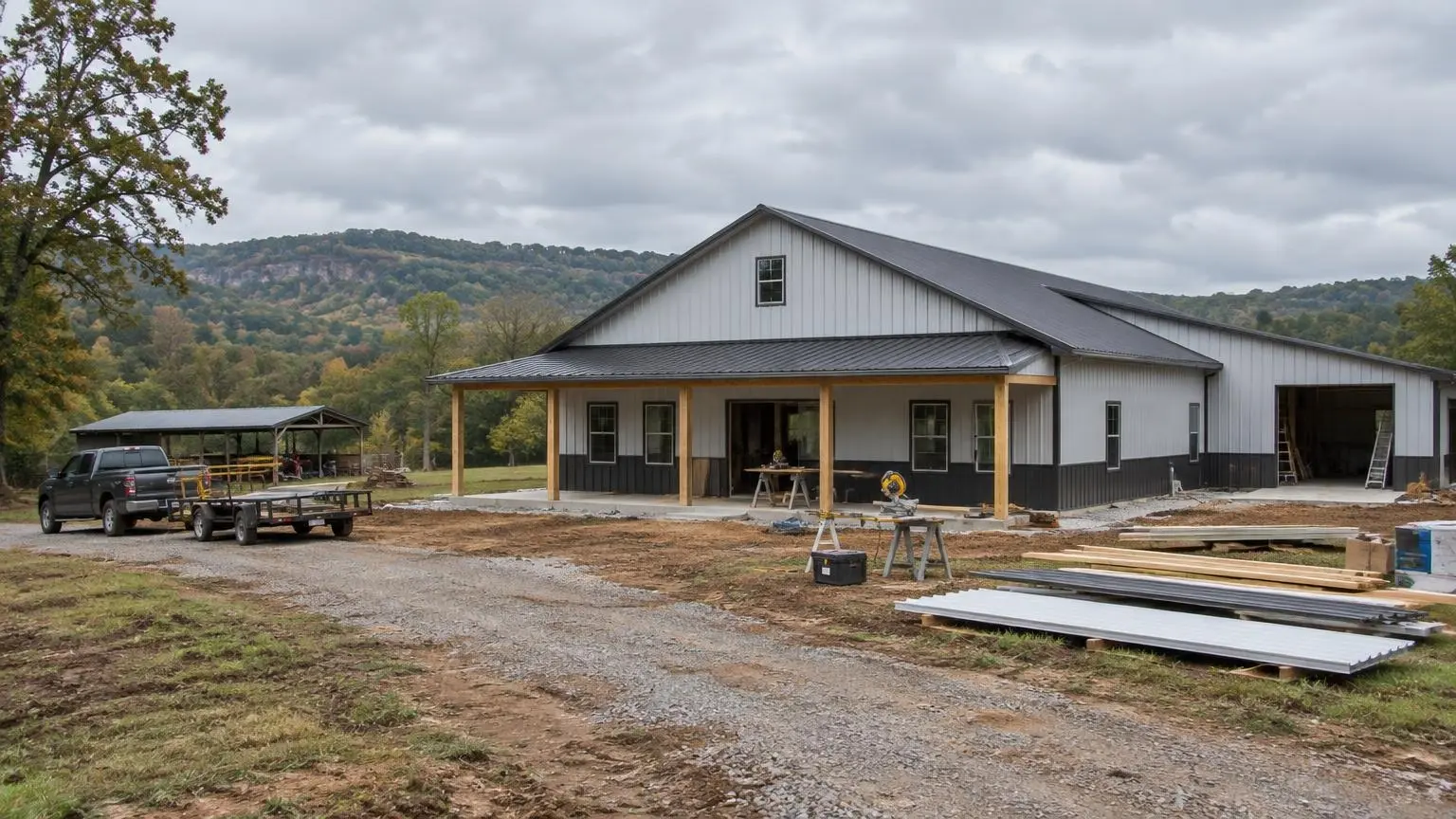
A Fast-Growing Town With Room to Build
Barndominium builders in Cabot are building in a place that has multiplied in size within a couple of generations. Cabot had 4,806 residents in 1980, 15,261 in 2000, 23,776 in 2010 and 26,569 in the 2020 census, making it the largest city in Lonoke County. Wikipedia describes it as a commuter community, and the geography explains why: Interstate 57 and U.S. 67/167 run along the northwest side of town as a four-lane freeway, with Jacksonville about 9 miles southwest and Searcy about 26 miles northeast.
Growth here has roots in the Little Rock Air Force Base, which opened in 1955, and in steady suburban movement out of Little Rock. Today the Cabot school district also serves Austin, Ward and most of northern Lonoke County, so families shopping for acreage often look at the whole area rather than the city limits alone.
What the Land Is Like
Lonoke County is mostly flat. Its middle third includes part of the Grand Prairie, a native grassland now known for rice, which has been grown in the county since 1904. The southern third has alluvial Delta soils. Cabot itself sits in the northwest corner at about 299 feet.
Prairie clay under the topsoil
The USDA's official description of the Stuttgart soil series uses a site in Lonoke County as its type location. Stuttgart soils formed in silty and clayey alluvium on the Grand Prairie terraces, are moderately well to somewhat poorly drained and have slow permeability, with silty clay or clay in the subsoil. Not every Cabot lot sits on Stuttgart soil, but slow-draining clay subsoil on flat ground is a pattern worth planning for: it affects how a slab pad is built up, how roof water is carried away from the foundation and where a septic field can go.
Bayous and drainage
Water moves slowly across flat land. Cypress Bayou forms the northern boundary of Lonoke County, Wattensaw Bayou drains its central section and Bayou Meto runs along the southeast. On a low tract, we look at flood mapping and at how water sheets across the property after a heavy rain before settling the finished floor height.
Septic Reality on Flat Clay Lots
The Arkansas Department of Health relies on soil pits, not percolation tests alone, to judge a site. Its FAQ explains that a perc test gives only a rough estimate of how soil moves water, while a pit shows depth to rock, any impervious layers and how high groundwater rises in wet seasons. State rules also set minimum depths of undisturbed soil above a seasonal water table, with slightly different thresholds for subdivision lots under 3 acres and for lots of 3 acres or more. On slow, wet soils, that can push an owner toward a larger lot or an alternate system design, so we like to see the soil report before the floor plan is locked.
Weather and Storms in Cabot
Cabot averages about 53.3 inches of precipitation a year and about 2.1 inches of snow, with a record high of 112 degrees F and a record low of minus 7. That is a long, humid cooling season, so HVAC sizing and air sealing in a steel-skinned shell matter.
Tornadoes are part of local history. A tornado struck downtown Cabot on March 29, 1976, killing five people, and the rebuilding gave the city its City Plaza. A UA Cooperative Extension fact sheet counts 79 tornado events in Lonoke County from 1950 through 2016. A storm room poured with the slab is one of the most practical upgrades for a barndo here.
Start With Your Parcel
Whether your land is inside Cabot, out toward Austin and Ward, or farther into the prairie, send us the location and your plans for living space and shop bays. We will look at drainage, soil and septic questions first, then put a written estimate together. Call (501) 392-9924 or
.Cabot and Lonoke County Notes
- Rapid growth. Cabot grew from 4,806 residents in 1980 to 26,569 in 2020 and is the largest city in Lonoke County.
- Prairie soil. The USDA Stuttgart soil series, with its type location in Lonoke County, is slowly permeable with silty clay or clay subsoil on Grand Prairie terraces.
- Bayous. Cypress Bayou forms Lonoke County's northern boundary and Bayou Meto its southeastern boundary.
- Tornado history. A March 29, 1976 tornado struck downtown Cabot; Lonoke County logged 79 tornado events from 1950 through 2016.
- Climate. Cabot averages about 53.3 inches of precipitation and 2.1 inches of snow a year.
Cabot Questions
Will a perc test tell me if my Cabot lot can take a septic system?
The Arkansas Department of Health relies on soil pits, which show depth to rock, restrictive layers and seasonal groundwater. We want that soil information before finalizing the house location.
Is clay soil a problem for a barndominium slab?
It is manageable with planning. Slow-draining clay calls for a properly built-up pad, good compaction and roof drainage carried away from the slab.
Do you build in Austin, Ward and the rest of northern Lonoke County?
Yes. We build throughout the Cabot area and the surrounding county, and we check each parcel's drainage and access.
Does lot size change the septic rules?
It can. State rules set different minimum soil depths for subdivision lots under 3 acres than for lots of 3 acres or more.
Free Estimates in Cabot, AR
Free barndominium estimates in Cabot and northern Lonoke County.
Barndominium Builders Near Cabot
- Barndominium Builders in Little Rock, AR
- Barndominium Builders in Conway, AR
- Barndominium Builders in Benton, AR
- Barndominium Builders in Bryant, AR
- Barndominium Builders in Sherwood, AR
- Barndominium Builders in Maumelle, AR
- Barndominium Builders in Searcy, AR
- Barndominium Builders in Beebe, AR
- Barndominium Builders in Russellville, AR
- Barndominium Builders in Hot Springs, AR
- Barndominium Builders in Malvern, AR
- Barndominium Builders in Arkadelphia, AR
- Barndominium Builders in Pine Bluff, AR
- Barndominium Builders in Jonesboro, AR
- Barndominium Builders in Paragould, AR
- Barndominium Builders in Batesville, AR
- Barndominium Builders in Mountain Home, AR
- Barndominium Builders in Harrison, AR
- Barndominium Builders in Fayetteville, AR
- Barndominium Builders in Springdale, AR
- Barndominium Builders in Rogers, AR
- Barndominium Builders in Bentonville, AR
- Barndominium Builders in Siloam Springs, AR
- Barndominium Builders in Fort Smith, AR
- Barndominium Builders in Van Buren, AR
- Barndominium Builders in Clarksville, AR
- Barndominium Builders in Texarkana, AR
- Barndominium Builders in El Dorado, AR
- Barndominium Builders in Magnolia, AR