
Peach country between river and hills
Barndominium Builders in Clarksville, AR
Barndo homes and shop buildings for Johnson County land, from river valley fields to Ozark foothill ridges.
- Free on-site estimates
- Written, line-item pricing
- County permit and septic research included
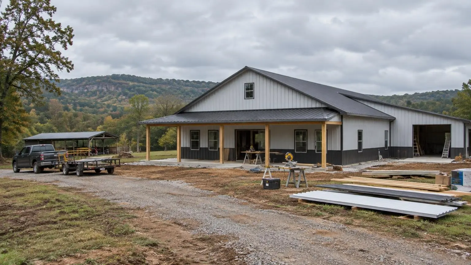
Why Johnson County Suits a Shop House
Barndominium builders in Clarksville are working in a small county seat with a lot of open land around it. Clarksville sits at about 367 feet, nestled between the Arkansas River and the foothills of the Ozark Mountains, with Spadra Creek east of the city center. It had 9,381 residents in 2020 and an estimated 9,632 in 2025. Interstate 40 runs 55 miles west to Fort Smith and 100 miles southeast to Little Rock, and US 64 crosses inside the city limits, so a rural homesite here can still stay connected.
The place has deep roots. It was settled in 1819 and established in November 1836. Severe flooding at the old river town of Spadra around 1833 is the likely reason Clarksville became the de facto county seat, an early sign that in this valley, higher ground wins. The Johnson County Peach Festival dates to 1938, and the University of the Ozarks grew out of a college that opened in 1891.
What a Clarksville Site Visit Covers
Every parcel is different, but a walk over Johnson County land usually comes down to the same handful of checks. Here is what we look at and why.
Slope. North of the valley the ground climbs into the foothills. Arkansas Department of Health rules add requirements as slope increases: above 6 percent, a septic area needs a berm or drainage ditch within 10 feet uphill, and the rules for extending cap fill change at the same 6 percent mark. An absorption area on capping fill cannot exceed 12 percent slope. On a hillside tract, the drain field location can end up deciding where the house sits.
Depth to rock. The same rules require separation between the bottom of an absorption field and bedrock: 18 inches for some low-conductivity soils, 24 inches for others and 36 inches where the soil moves water quickly. Thin soil over rock is a common feature of foothill land, so we want soil pits dug early. State rules call for at least two, one in the primary absorption area and one in the secondary.
Distance from water. A septic field must be 100 feet from the high-water mark of a stream or lake and from any domestic water supply, and a well must be at least 50 feet from any lot line and 100 feet from septic systems on the same or adjacent lots. On creek frontage near Spadra Creek or on smaller drainages, those distances are worth plotting before you settle on a house location.
Flood history. The 2019 Arkansas River flood was a reminder of how far the river can reach. At least three levees were breached between Fort Smith and Little Rock, with five more substantially damaged, and downstream at Dardanelle the flooding reached magnitudes with return periods exceeding 200 years. For valley tracts near Clarksville, we check the flood map and talk through pad height before design.
Access. Long gravel drives, culverts at the road and room for a delivery truck to turn around all matter on rural land. A steel package or post-frame materials arrive on large trucks, and a crane or lift needs firm, level ground near the slab.
The County Picture
Johnson County covers 683 square miles, 660 of them land, and had 25,749 residents in 2020. Of its 11,475 housing units, 13.7 percent were vacant, and 70.1 percent of occupied homes were owner-occupied. Part of the Ozark National Forest lies in the county, and the towns of Coal Hill, Hartman, Knoxville and Lamar share the valley with Clarksville. For buyers who want acreage with room for a shop, equipment or animals, that mix of owner-occupied homes, open land and national forest backdrop is the draw.
Weather Planning
Clarksville's climate is humid subtropical, with an average of 47.21 inches of precipitation a year, a mean daily high of 72 degrees F and a mean daily low of 47. The record high is 112 and the record low is minus 11. On May 25, 2011, an EF4 tornado caused three deaths in rural Johnson County. That combination of hot summers, occasional hard cold and severe storms shapes how we plan a barndo here:
- Engineered wind design for the frame and anchorage, with a safe room option priced separately.
- Roof and wall insulation that keeps the steel skin from sweating in humid weather.
- Gutters and downspouts sized for heavy rain, with water carried away from the slab edge.
- Freeze protection for plumbing in exterior walls and shop areas.
Getting a Number for Your Land
Tell us where the land is, whether it sits on the valley floor or up in the foothills, and what you want: living space, shop bays, a covered porch, a loft. We will review slope, soil and access and write an estimate. Call (501) 392-9924 or
.Clarksville and Johnson County Notes
- Setting. Clarksville lies between the Arkansas River and the Ozark foothills at about 367 feet, with Spadra Creek east of downtown.
- Owner-occupied county. Johnson County had 11,475 housing units in 2020; 70.1% of occupied homes were owner-occupied.
- Slope rule. Arkansas septic rules require a berm or ditch uphill of a field on slopes above 6% and cap a fill absorption area at 12% slope.
- Storm record. An EF4 tornado on May 25, 2011, caused three deaths in rural Johnson County.
- Climate. Clarksville averages 47.21 inches of precipitation a year, with records of 112 and minus 11 degrees F.
Our Services in Clarksville, AR
Clarksville Questions
My land north of Clarksville is sloped and rocky. Will it pass for septic?
It might. The state rules require set distances above bedrock and add berms or ditches on steeper ground. Soil pits in two locations tell us what will work, and sometimes the field location decides where the house goes.
Is river valley land near Clarksville a flood risk?
Some of it is. The 2019 flood broke levees between Fort Smith and Little Rock. We check the flood map for the parcel and plan pad height before design.
How far does a well need to be from the property line?
Arkansas rules require at least 50 feet from any lot line and 100 feet from septic systems on your lot or a neighbor's.
Do you build near Lamar, Hartman and Coal Hill?
Yes. Rural Johnson County land along the valley and into the foothills is a good fit for barndos and shop houses.
Free Estimates in Clarksville, AR
Request a written estimate for your Clarksville barndominium.
Barndominium Builders Near Clarksville
- Barndominium Builders in Little Rock, AR
- Barndominium Builders in Conway, AR
- Barndominium Builders in Cabot, AR
- Barndominium Builders in Benton, AR
- Barndominium Builders in Bryant, AR
- Barndominium Builders in Sherwood, AR
- Barndominium Builders in Maumelle, AR
- Barndominium Builders in Searcy, AR
- Barndominium Builders in Beebe, AR
- Barndominium Builders in Russellville, AR
- Barndominium Builders in Hot Springs, AR
- Barndominium Builders in Malvern, AR
- Barndominium Builders in Arkadelphia, AR
- Barndominium Builders in Pine Bluff, AR
- Barndominium Builders in Jonesboro, AR
- Barndominium Builders in Paragould, AR
- Barndominium Builders in Batesville, AR
- Barndominium Builders in Mountain Home, AR
- Barndominium Builders in Harrison, AR
- Barndominium Builders in Fayetteville, AR
- Barndominium Builders in Springdale, AR
- Barndominium Builders in Rogers, AR
- Barndominium Builders in Bentonville, AR
- Barndominium Builders in Siloam Springs, AR
- Barndominium Builders in Fort Smith, AR
- Barndominium Builders in Van Buren, AR
- Barndominium Builders in Texarkana, AR
- Barndominium Builders in El Dorado, AR
- Barndominium Builders in Magnolia, AR