
Boone County seat, Buffalo River gateway
Barndominium Builders in Harrison, AR
Barndominiums and shop homes for the plateaus and hollows around Harrison.
- Free on-site estimates
- Written, line-item pricing
- County permit and septic research included
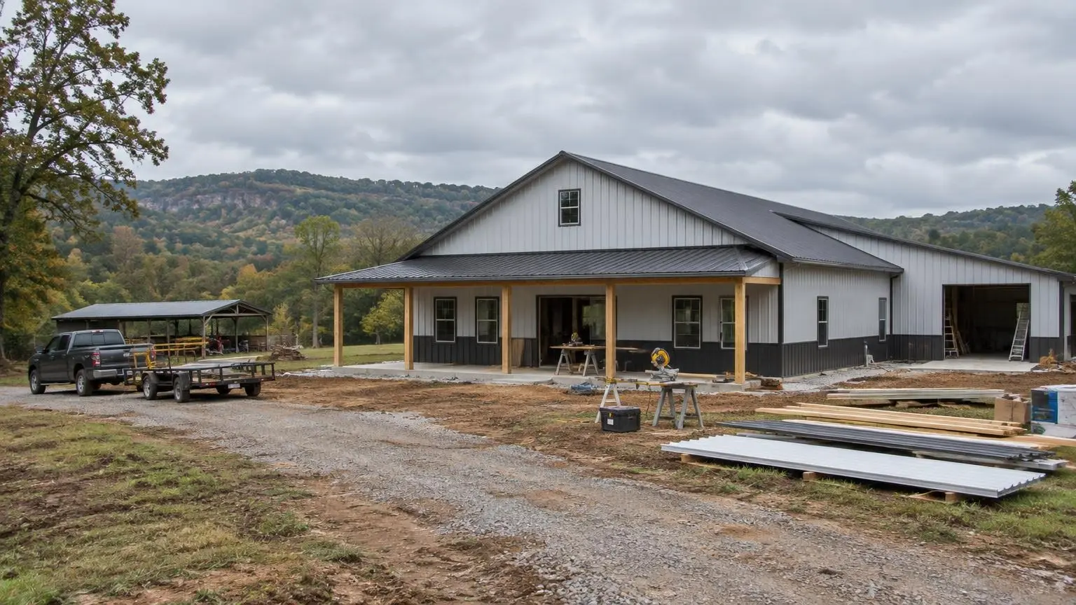
Building in the Hills Around Harrison
Barndominium builders around Harrison work on high Ozark ground. Harrison sits at about 1,247 feet and is the seat of Boone County, which was organized in 1869, the same year the town was platted. The city had 12,943 residents in 2010 and 13,069 in 2020. It is also the headquarters of the National Park Service's Buffalo National River, and U.S. 62, U.S. 65 and U.S. 412 all pass through town.
Boone County covers about 602 square miles and is 62.7 percent rural. That is where most barndominium projects around Harrison will land: on acreage near Alpena, Bellefonte, Bergman, Everton, Omaha, Valley Springs, Zinc or Diamond City rather than on an in-town lot.
Step 1: Learn Which Plateau You Are On
Wikipedia describes Boone County as lying entirely within the Ozark Mountains, with rolling hills of the Springfield and Salem Plateaus covering most of the county and the more rugged Boston Mountains just to the south, including isolated peaks such as Boat Mountain, Pilot's Knob and Gaither Mountain. The Encyclopedia of Arkansas names Harrison among the Ozark towns that grew up where the plateau surface is broad.
That matters because the Encyclopedia also explains the soil pattern: fairly deep soils on flat hilltops and broad plateau surfaces, shallow soils on hillsides except at the base of a slope. Rolling plateau pasture is generally the friendliest ground for a large slab and shop apron. Land that drops off toward a creek or climbs toward the Boston Mountains usually costs more in site work.
Step 2: Respect Crooked Creek
Harrison has a hard lesson in its history. On May 7, 1961, heavy rain sent Crooked Creek over its banks and into the town square and much of the southwest part of the city. Water inside buildings reached 8 feet. The American Red Cross reported four deaths, 80 percent of the business district destroyed and more than 300 buildings damaged or destroyed.
Crooked Creek still runs just south of downtown and drains much of the county toward Bull Shoals Lake. Long Creek and Osage Creek drain toward Table Rock Lake, and the headwaters of the Buffalo National River are in the county's southwest corner. If your land touches any of those creeks or their branches, the first job is a flood map check and a decision on slab height. A barndominium on a raised, well-drained pad is easy; one dropped in a creek bottom is not.
Step 3: Expect Chert in the Soil
Ozark soils are famous for chert, which the Encyclopedia of Arkansas describes as a flint-like rock formed from silica. The USDA's Clarksville soil series, found across the Ozark region of Arkansas, Missouri, Oklahoma and Kansas, shows what that looks like: soils formed in material from cherty dolomite or cherty limestone, with 35 to 70 percent rock fragments in the key layer, on steep side slopes and narrow ridgetops. Bedrock in that series is deeper than 80 inches, but the gravel and cobbles make digging slow and change how the soil handles water. It is somewhat excessively drained, with medium to very high runoff.
For a barndo, cherty ground means excavation equipment sized for it, good compaction under the slab, and a septic evaluation done by someone who digs actual soil pits. Your land may or may not be Clarksville soil; the evaluation tells you.
Step 4: Plan the Septic System Before the House
Under Arkansas Department of Health rules, septic plans must be approved before construction of a residence starts. At least two soil pits are needed, one for the primary absorption area and one for a backup area. The absorption area cannot exceed a 12 percent slope, and it has to keep 100 feet from any stream or lake high-water mark, 100 feet from a domestic water source and 100 feet from any sinkhole. Lay those circles on a hilly Boone County tract and you will see why the septic area often decides where the house sits.
Step 5: Design for Ozark Weather
NOAA normals reported on Wikipedia give Harrison about 47.46 inches of precipitation and 9.5 inches of snow a year, with a record high of 112 degrees F and a record low of minus 20. That cold record is one of the reasons we pay attention to how a metal building is insulated. Thermal breaks between the steel and the interior, a continuous air seal and a heat pump sized to the actual envelope keep a Harrison barndo comfortable and dry inside. Roof pitch and gutter sizing handle the rain; framing is checked for snow load.
Step 6: Think About the Drive
Harrison sits on major highways, which helps with deliveries. Wikipedia gives the distances: 33 miles north to Branson on U.S. 65, 43 miles west to Eureka Springs on U.S. 62, 48 miles east to Mountain Home, and 73 miles west to Springdale on U.S. 412. The last mile is the one that counts, though. Gravel county roads and steep private drives need to handle a loaded concrete truck and a steel delivery, so we walk the access route as part of the first site visit.
Ready to talk about Boone County land? Call (501) 392-9924 or
.Harrison and Boone County Facts
- 1961 flood. On May 7, 1961, Crooked Creek flooded the town square; water reached 8 feet inside buildings and more than 300 buildings were damaged or destroyed.
- Plateau country. Most of Boone County is rolling Springfield and Salem Plateau, with the rugged Boston Mountains just to the south.
- Creeks and lakes. Crooked Creek drains much of the county to Bull Shoals Lake; Long Creek and Osage Creek drain to Table Rock Lake.
- Cold record. Harrison averages about 47.46 inches of precipitation and 9.5 inches of snow; its record low is -20 degrees F.
- Rural county. Boone County had 37,373 residents in 2020, 62.7% of them rural.
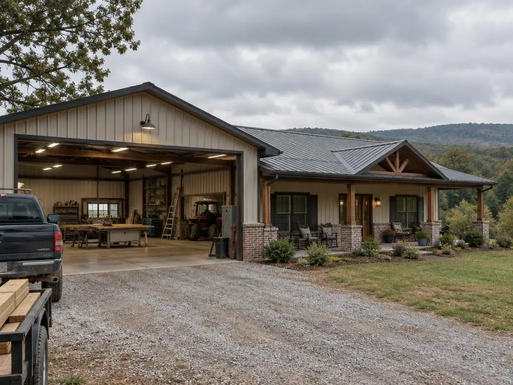
Our Services in Harrison, AR
Harrison Questions
Is land near Crooked Creek safe to build a barndo on?
Some of it is and some of it is not. Harrison's 1961 flood is the reason we check the flood map and plan the slab elevation before anything else on creek-side land.
Why is digging so slow on my Boone County land?
Chert. Many Ozark soils are full of flint-like chert gravel and cobbles. The USDA's Clarksville series, for example, carries 35 to 70 percent rock fragments. We plan equipment and time for it.
Does a Harrison barndo need to be built for snow?
Harrison averages about 9.5 inches of snow a year and has recorded minus 20 degrees F, so roof framing is checked for snow load and the insulation plan is built to stop condensation on the steel in cold weather.
Do you build toward Bergman, Valley Springs and Alpena?
Yes. We build all over Boone County and into the neighboring hill country.
Free Estimates in Harrison, AR
Send us your Boone County parcel and we will walk through the plan with you.
Barndominium Builders Near Harrison
- Barndominium Builders in Little Rock, AR
- Barndominium Builders in Conway, AR
- Barndominium Builders in Cabot, AR
- Barndominium Builders in Benton, AR
- Barndominium Builders in Bryant, AR
- Barndominium Builders in Sherwood, AR
- Barndominium Builders in Maumelle, AR
- Barndominium Builders in Searcy, AR
- Barndominium Builders in Beebe, AR
- Barndominium Builders in Russellville, AR
- Barndominium Builders in Hot Springs, AR
- Barndominium Builders in Malvern, AR
- Barndominium Builders in Arkadelphia, AR
- Barndominium Builders in Pine Bluff, AR
- Barndominium Builders in Jonesboro, AR
- Barndominium Builders in Paragould, AR
- Barndominium Builders in Batesville, AR
- Barndominium Builders in Mountain Home, AR
- Barndominium Builders in Fayetteville, AR
- Barndominium Builders in Springdale, AR
- Barndominium Builders in Rogers, AR
- Barndominium Builders in Bentonville, AR
- Barndominium Builders in Siloam Springs, AR
- Barndominium Builders in Fort Smith, AR
- Barndominium Builders in Van Buren, AR
- Barndominium Builders in Clarksville, AR
- Barndominium Builders in Texarkana, AR
- Barndominium Builders in El Dorado, AR
- Barndominium Builders in Magnolia, AR